Maps Collection
The Longmont Public Library boasts an extensive collection of FREE maps, serving as a valuable resource for explorers, researchers and enthusiasts alike. From detailed hiking maps aiding outdoor adventurers to adventure travel maps for patrons’ trips to the seven continents, the Library offers a diverse array of cartographic treasures.
Whether planning a trip, studying local geography, or delving into historical research, visitors can access these maps to enhance their understanding of the world around them. With its rich collection, the Longmont Public Library continues to empower individuals with knowledge and exploration through the art of cartography.
Hiking & Recreation Maps
Find maps for Colorado hiking areas like Idaho Springs, Redfeather Lakes, Leadville, Fairplay, Hahns Peak and more! Other recreation maps include backcountry skiing, river fishing, lake fishing, river recreation and more!
U.S. States Hiking Maps
Find hiking maps for national parks like Yosemite, Grand Canyon, Badlands and Zion among many others. Make sure you can find your way when no service is available by checking out a map to explore Hawai’i Volcanoes, Moab, Death Valley and more!
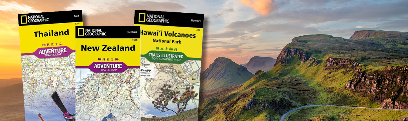
Adventure Travel Maps
Head to places less traveled using an Adventure Travel Map to find hidden gems in Thailand, New Zealand, South Africa, Japan, Panama, Sicily, and more!
Other free online maps:
- Boulder Area Trails App: Find county-wide interactive, mobile trail maps right on your phone.
- USGS Topographic Maps: Current U.S. Topos and historical topographic maps are available as digital files or printed to order.
- Sanborn Maps: View historic fire insurance maps from across the U.S.